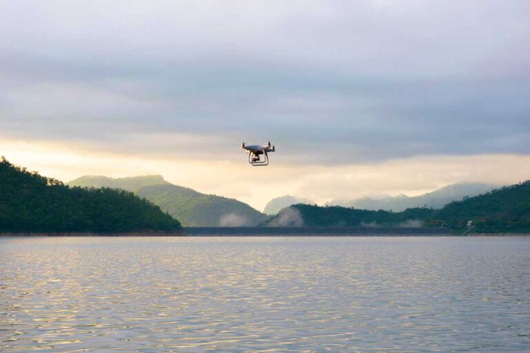
The real estate sector loves new tech, and drones have made a big splash. They’ve turned how properties get marketed and inspected on its head, making everything more exciting!
At first, the real estate industry saw drones as pricey toys. But as the tech got better and prices dropped, the real value shone through. Early birds used drones for aerial shots, showing off properties in a fresh, cool way that was hard to do before.
Now, drones do much more than just snap cool aerial shots. They’ve changed how properties are showcased and inspected, sparking buzz among potential buyers. In this article, we will learn how drones are used in real estate.
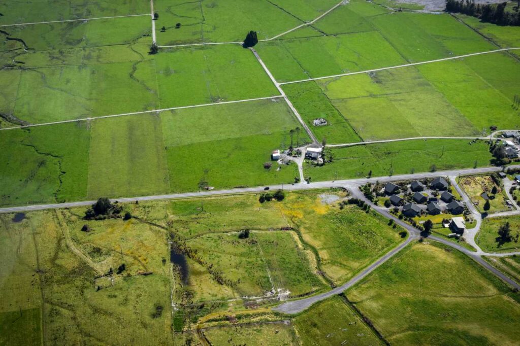
They offer a full view, letting buyers see every part of a property, the neighborhood, and special features that might go unnoticed in a typical ground-level tour.
With these steps up, drones have found a cozy spot in the real estate workflow. They’re showing a bright future for drone technology in this buzzing field!
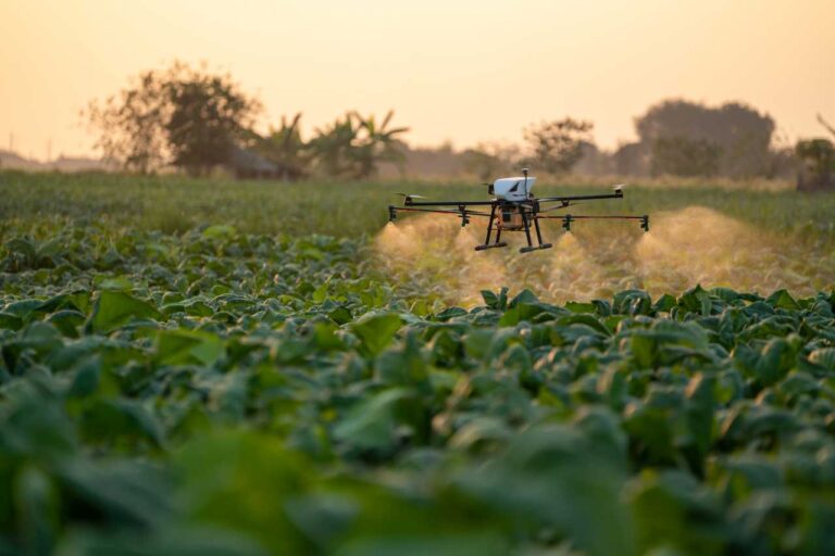
We have previously discussed How Drones Are Used in Agriculture in-depth.
How are drones used in real estate?
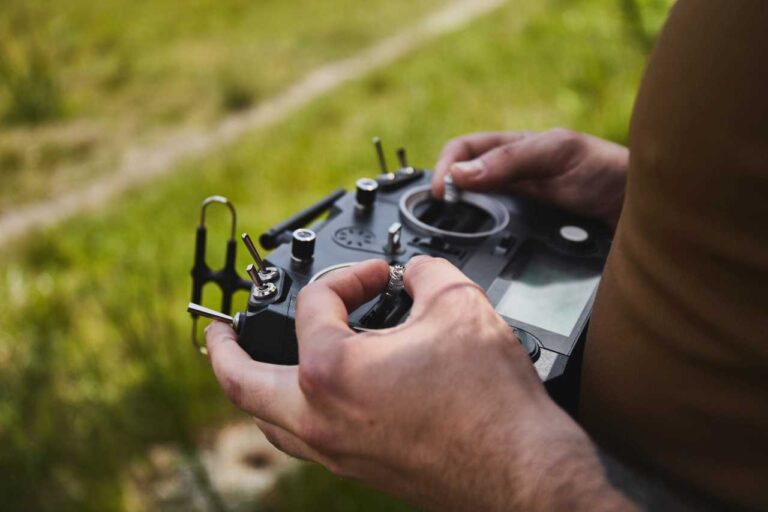
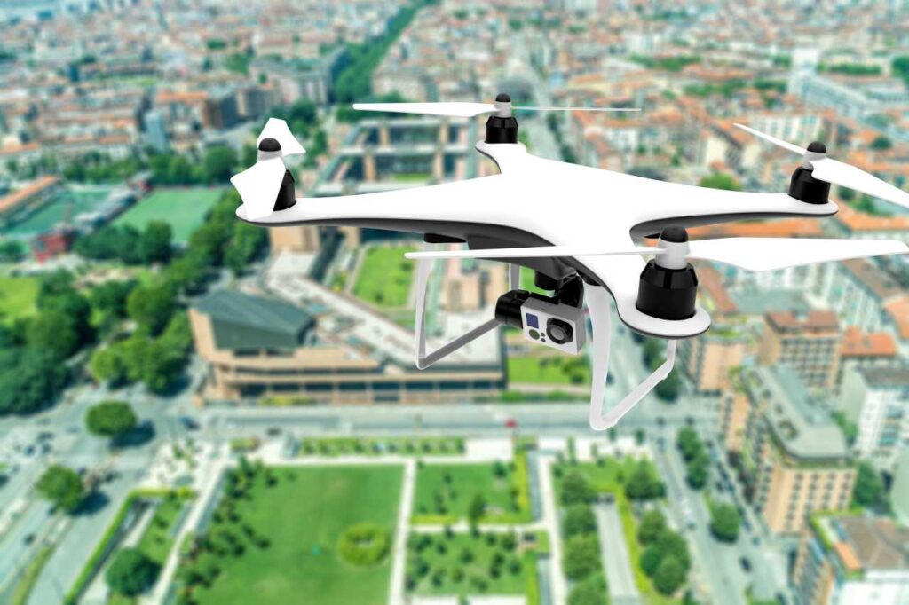
Drones, especially when paired with a high-quality drone controller, have become invaluable tools in real estate. The use of drones for aerial photography and videography allows for the capture of stunning images and videos of properties. A drone controller enables precise maneuvering, ensuring that the drone captures the property from the best angles and heights. This technology provides a unique perspective, often capturing the entire property in one shot.
Real estate agents leverage this capability to showcase their listings in a more engaging and immersive way, making it easier for potential buyers to visualize the space and its surroundings. The integration of drone technology, particularly the use of an advanced drone controller, has truly revolutionized property photography in the real estate industry.
Benefits of Drones in Real Estate
Importance of drones in the industry
Drones have become a key player in the real estate industry. They’re not just fun gadgets; they’re essential tools for showcasing and inspecting properties. Drone technology allows real estate professionals to inspect rooftops, chimneys, and other hard-to-reach places easily. It’s like having a superpower to see properties from every angle!
Better views of bigger homes
When it comes to larger properties, drones are a game-changer. They capture wide-angle shots and aerial views that show off the size and layout of larger properties. With drone photography, a big house doesn’t just look big; it looks impressive. It’s like giving a royal tour of a castle from the sky!
Buzz for listing agents
Listing agents are finding drones to be a great asset. Drone videos make real estate listings more engaging, creating a buzz that draws in potential buyers. It’s not just about selling a house; it’s about creating an engaging visual story that buyers want to be a part of.
A look at the land
A drone doesn’t just stop at the house. It gives a detailed view of the land. With drone imagery, property boundaries are clear, and the neighboring areas come to life. It’s like having a bird’s eye view of your domain!
A more personal view of the property
Drones offer a personal touch, letting prospective buyers see properties from different angles and perspectives. With drone footage, it’s not just a house; it’s a home waiting to be discovered. Every aerial shot invites you to explore what could be your next home sweet home.
A tour of the town
Why stop at the property? Drones take you on a tour around the town. Aerial footage shows the residential areas, nearby schools, parks, and other amenities. It’s a virtual tour that shows not just a home, but a lifestyle.
Budget-friendly aerial photography
Who said aerial shots are for big-budget films? Drones make aerial photography budget-friendly. The cost savings are real, and the shots are stunning. It’s a win-win for both real estate professionals and buyers.
How drone photos/videos influence property sales
Pictures speak a thousand words, and drone photos speak volumes! Drone photos make property sales soar as they give a real feel of the property. They not only attract potential home buyers but make them fall in love with the property. It’s not just a sale; it’s a match made in real estate heaven!
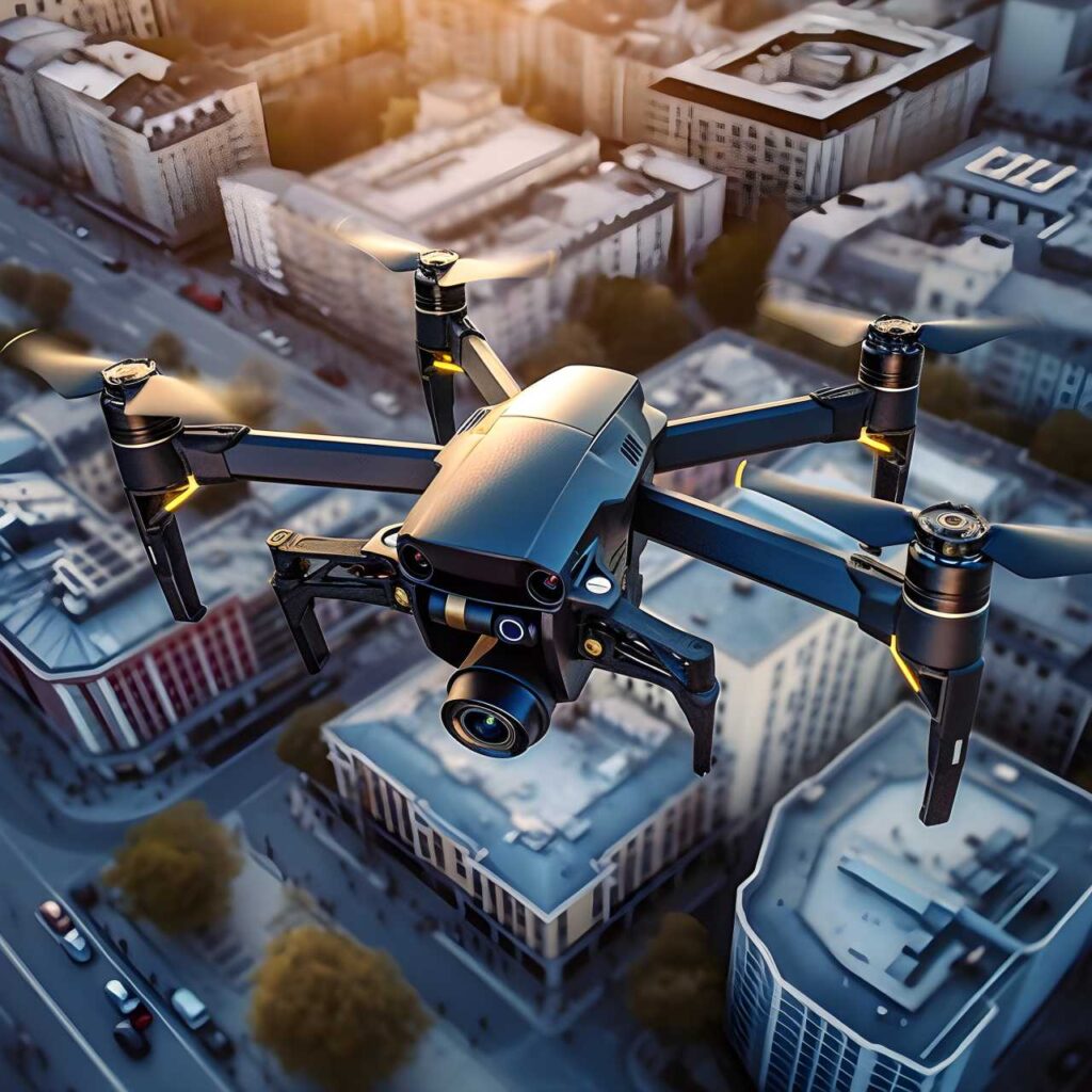
Types of Drones Used in Real Estate
Real estate pros now have a tech-savvy buddy – drones! They bring a fresh view to property showcasing. Let’s dive into some drone models making a splash in real estate photography and videography.
- DJI Phantom 4 PRO: A darling among real estate mavens. Known for its pro shooting modes and a 20 MP camera.
It can shoot 4K video at 30 fps. Features like TapFly, ActiveTrack, and Gesture mode ease the task of capturing that perfect shot.
With a decent range and a 30-minute flight time, it’s a sturdy pick for real estate snaps.
- DJI Inspire 2: It’s all about high-quality shots with the DJI Inspire 2. It boasts a 20 MP camera that shoots 6K video at 30 fps.
Switching lenses for various shot types is a breeze. Plus, an obstacle detection system and retractable landing gear make it a versatile choice.
- DJI Air 2S Fly: Celebrated for its long flight time, this model comes with a 20 MP camera that shoots 5.4K video at 30 fps.
Intelligent modes like Spotlight, ActiveTrack, and Point of Interest, alongside enhanced safety features, make capturing aerial views a breeze. A reliable obstacle detection system adds a layer of security, marking it a solid choice for real estate snaps.
These drones are changing how we view and present properties. Each model brings unique features to the table, catering to the diverse needs in real estate photography and videography.
From a bird’s eye view to capturing a home’s intricate details, these drones have the real estate industry buzzing with excitement.
Implications and Challenges of Drones in Real Estate

Will drones replace surveyors?
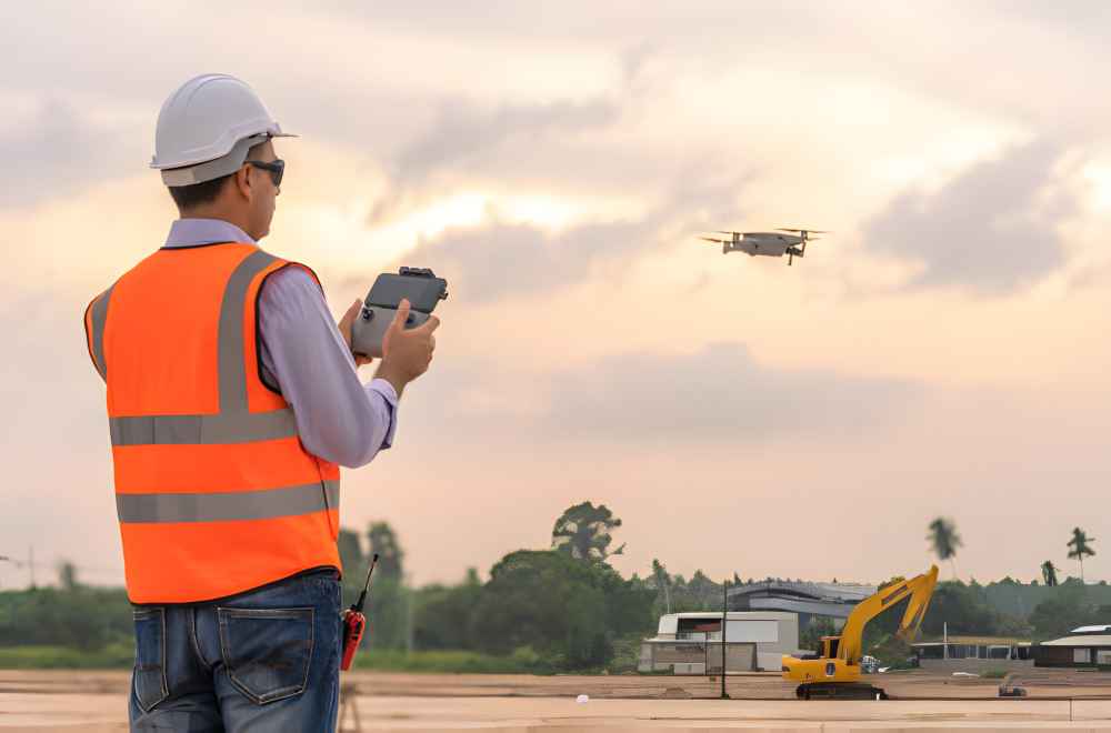
The arrival of drones sparked a tech revolution in many sectors, with real estate being a prime example. This innovation begs the question: Could these high-flying gadgets replace the trusty old surveyor? To answer this, it’s essential to understand How Drones Work. Their ability to capture detailed aerial data and imagery opens up new possibilities in property surveying, offering a faster and often more comprehensive view than traditional methods.
Drone technology is at the forefront of modern aerial survey methods. With drones, mapping a property becomes a swift, almost effortless task. They soar above, capturing high-resolution images that form a precise property map.
On the flip side, traditional methods have a drone pilot, aka a human surveyor, on the ground. They measure, they mark, and they map, all manually. It’s accurate but time-consuming.
Now, compare the two. Drones zoom through the task, saving precious time. Human surveyors, though meticulous, can’t match the speed. But what about accuracy? Well, drones are catching up, and fast. The images they capture are sharp, clear, and offer a detailed view from above.
However, nothing beats the human touch, right? A drone pilot can spot issues, make judgments, and offer insights that a drone might miss. So, while drones amplify efficiency, the human surveyor remains irreplaceable.
Privacy concerns, regulations, and other challenges
Drones are cool, but they come with a baggage of concerns. Let’s unpack some of these.
Privacy concerns top the list. Drones, flying high, can peek into private spaces, which is a big no-no. The lens of a drone doesn’t understand privacy, which can lead to unintended peeping.
Then there are the regulations. The commercial drone rule is a maze that real estate professionals must navigate. Every flight needs to adhere to a set of rules, which can be a headache.
And of course, the risk of accidents. Drones can collide with other objects, fall from the sky, or even lose connection with the controller. Each flight carries a risk, making drone usage a tightrope walk for real estate pros.
While drones offer a modern take on real estate operations, they bring along a set of challenges that need a careful approach. Exploring what are drones used for today in real estate can shed light on their varied applications and the solutions to overcome these challenges.
The Future of Drones in Real Estate
Remote Viewings
Drones are changing remote viewings in real estate. They can fly over properties, offering live or virtual tours for buyers. This is handy for remote areas, making any location accessible.
These tours provide a clear view of the property. It’s a new way to experience a home, no matter where you are.
AI Integration and Automated Tours
Artificial intelligence (AI) is now teaming up with drones. This duo offers automated tours packed with useful information. It’s a blend of smart tech and aerial agility.
Drones with AI can guide themselves around a property. They point out features and give buyers a detailed look, all with innovative content.
Potential Growth Areas and Innovations
Drones are exploring new potential growth areas in real estate. They are stepping into construction monitoring, offering real-time aerial views.
This is just one of many innovations coming from the drone industry. From marketing to monitoring, drones are opening new doors in real estate. The future holds more surprises as drones find more ways to aid the industry.